Location/How to get there: From Asheville, take I-40 West to exit 33 and continue straight on Freedom Drive. At the junction, turn right on Beaverdam Road and in roughly two miles, left on Rice Cove Road. At the “T,” go right on Rough Water Road. In a quarter mile at the end of two-lane pavement, go left through the closed gate and cattle guard (please close gate back) and continue uphill to the parking area, which is to the left of the trailhead kiosk.
Access Info: As noted above, the driveway into the watershed is gated at the bottom, you will have to open and close the gate when you enter/exit. Please note that the road goes through private property and leaving the roadbed is PROHIBITED.
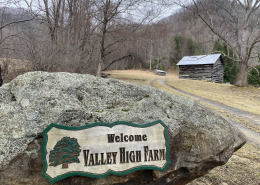
From the parking area at the trail kiosk below the caretaker’s house, access the trail system on foot, by following the soil roadbed to the left of the parking area (not the driveway to the caretaker house) to the gated entrance of the watershed.
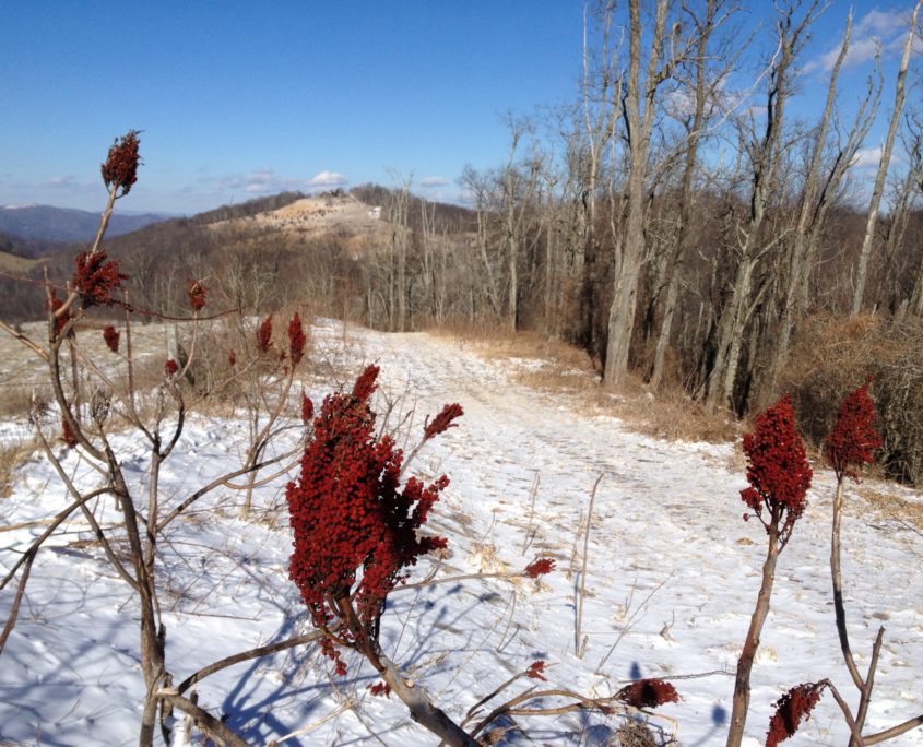
Close the gate and continue up the road to a signed intersection. At the intersection, go either left or right and follow the signs to the lower trailhead for Cherry Cove Trail. On Cherry Cove Trail, follow the trail signs to the West Boundary Road. Go right on the road and rejoin Cherry Cove Trail where it goes back into the woods (a right turn). Cherry Cove Trail will end at the East Boundary Road. To return to the parking area, either backtrack on Cherry Cove Trail or turn right and follow the signs back to the entrance road. (see trail map for more information)





 Dennis Oakley CNPA
 Travis Bordley

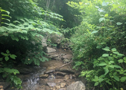
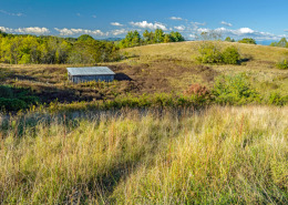
 Credit Owen Carson, Equinox
 SAHC/Travis Bordley
 ©️ Bob Ware / SlowGlassPictures.com


 Eisenberg


 Photo credit Wildwood Consulting LLC Dan Callaghan


 Jorja Smith
 Courtland White