

Virtual Lunch & Learn – Mapping the Mountains: Surveying & Technology in Land Conservation
Wednesday, March 25 at 12:00 pm EST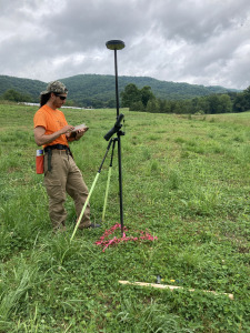
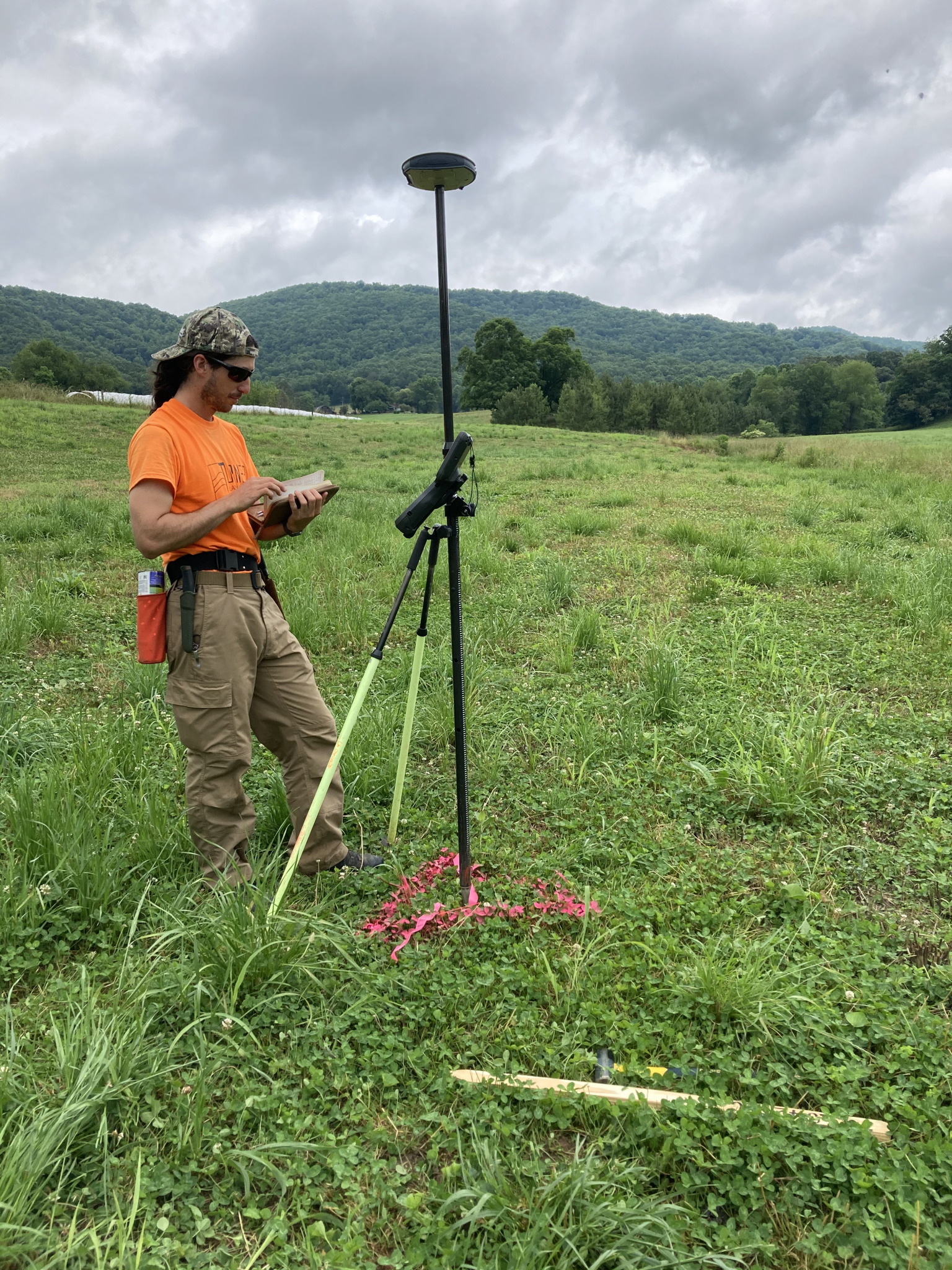
Join Park Greer, SAHC’s South Yellow Mountain Preserve Manager for a virtual Lunch & Learn exploring the intersection of land conservation, land surveying, and other measurement and monitoring technologies. Before Park joined the SAHC team he worked in land surveying specializing in stream restoration and is excited to share how historical and modern mapping technologies help conservationists better understand, protect, and steward the landscapes of the Southern Appalachian mountains.
Many of these tools and practices are unfamiliar to most even though they impact our daily lives. Understanding the distinction between these tools, their limitations, and their uses helps land owners and land protectors to care for the world around them. From the history of surveying to interpreting and defining property boundaries to analyzing forest health and habitat connectivity, these tools play a critical role in preserving farmland, forests, and mountain views for future generations.