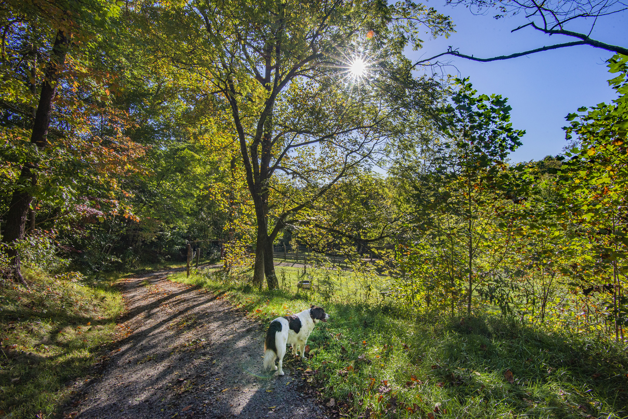
Young Pisgah Mountain

Map of Young Pisgah MountainThe Young Pisgah Mountain property adjoins Pisgah National Forest just a mile north of the Blue Ridge Parkway in the Upper Hominy Creek Valley of southwest Buncombe County. This 102-acre conservation easement conserves habitat in an important wildlife corridor, in a network of other protected areas such as Chestnut Mountain and the tracts being secured for the new Pisgah View State Park.

“The tract at Young Pisgah Mountain is connected to a large block of protected land in the Balsam Mountains including Mount Pisgah and the Shining Rock Wilderness, which contain many biologically significant destinations,” says Land Protection Director Michelle Pugliese. “It has been a long-term project and we are grateful for the landowners’ commitment in protecting this special place. They first approached SAHC in 2010 about potentially conserving the land, and we are thrilled to have purchased the conservation easement this summer.” Read more

Chestnut Mountain


Chestnut Mountain is close to highway accessUnique habitat and clean water conservation project paired with exciting potential for outdoor recreation! We have purchased 448 acres at Chestnut Mountain near the Town of Canton, permanently protecting sources of clean water and forested habitat in an important wildlife corridor. SAHC plans to give the conserved property to the Town of Canton, after we finish raising funds that are needed to re-pay a bridge loan we took out to buy the property. This will create the possibility for easily accessible outdoor recreation just off US Hwy 19/23 and Interstate 40.

Animal track“This property is dynamic, with a mosaic of habitat types – which is really good for wildlife – and different settings for people to enjoy various types of experiences on the land,” says Conservation Director Hanni Muerdter. “The property starts at 2,360 feet elevation at Hwy 19/23 and then rises to 3,400 feet at the peak of Chestnut Mountain.  At the higher elevations, forested ridgelines and coves situated in an important wildlife corridor provide exceptional habitat for plants and animals. It contains pockets of gentle mature hardwood forest with laurel and rhododendron, forested slopes facing a variety of directions, and an open field and early successional edge area beneficial for birds. The amount of wildlife activity on the tract is truly impressive!” Read more

Tiger Creek

lower meadow at Tiger CreekThanks to supporters like you, in May 2020 we purchased 54 acres surrounded by Cherokee National Forest in the Highlands of Roan, within 2,000 feet of the Appalachian Trail. SAHC will own and manage the property to protect habitat and water resources until it can be added to Cherokee National Forest.

The Tiger Creek property rises in elevation from 3,400 feet to nearly 4,400 feet, just a short distance from the Clyde Smith Shelter on the Appalachian Trail. This stunning tract features an open field and early successional habitat for songbirds, beautiful tributary stream of Tiger Creek, and large, high elevation rock outcrop. Read more

Sandy Mush – 25 Years of Conservation

Sandy Mush conservation map 2020Mountain ridges, low-lying farms, beautiful streams and forested hills coalesce into a quiet rural community in the corner where Buncombe, Haywood, and Madison Counties meet. This idyllic haven has been the beloved home to generations of hard-working farmers as well as a treasured retreat to relative newcomers. We’ve been cultivating relationships and conserving land in this beautiful area for decades, and we are very grateful to all the partners, landowners, and supporters who make conservation in Sandy Mush possible.

Bee Branch viewWhat makes this area so unique for conservation? A combination of agricultural land and fertile farming soils, secluded coves and ridges that make excellent wildlife corridors, and a plethora of stream sources. All potentially under threat of development as the population and popularity of the region continues to swell. Unlike SAHC’s other five conservation focus areas, where we often concentrate on connecting to or filling in gaps within national forests or state parks, the French Broad River Valley focus area did not have an existing conservation skeleton on which to build. By conscientiously creating long-term relationships with landowners in the Sandy Mush area, we have established a framework of contiguous protected land, and we continue to work diligently to protect important tracts while the opportunity remains.

In its remoteness, Sandy Mush is a close-knit community with a shared appreciation for the beauty of the land, history, farming experience, and respect for nature. This land is steeped in history, and families with long-standing connections to the area who have farmed here for generations — with names like Duckett, Wells, and Reeves — have worked with SAHC to permanently protect their land. We are grateful to all the landowners who have built relationships with us over time and shared news about conservation in the community. Here are a few of
their stories. Read more

Roaring Creek Valley

Roaring Creek conservation mapTwo new acquisitions in Roaring Creek join our network of protected land in the Highlands of Roan. These two tracts adjoin other SAHC preserves on the slopes of Big Yellow Mountain, together protecting hundreds of acres of northern hardwood and high elevation red oak forests, rising up to the boundary of the Big Yellow Mountain Preserve, co-managed by SAHC with our partners at The Nature Conservancy.

Most of these properties are within the Big Yellow Mountain Natural Area and are part of the Audubon Society’s Roan Mountain Important Bird Area. They contain thousands of linear feet of tributary streams and headwater seeps, feeding into Roaring Creek. The North Toe River and Roaring Creek have been identified as critical to protecting water quality in the Southern Appalachian Mountains, and the watershed supports a host of rare species, including the Federally Endangered Appalachian Elktoe mussel. Read more

Byrd Farm – Mitchell County

Charolais cattle on Byrd farmByrd Charolais Farm – Mitchell County (Highlands of Roan Area)

The Highlands of Roan are known for rare and fragile ecological communities as well as magnificent, panoramic views studded with scenic mountain farms. At the end of 2019, SAHC permanently protected 127 acres of beautiful family farmland in Mitchell County, preserving bucolic views along NC Hwy 226. The Byrd Charolais* Farm is an agricultural gem, with water conservation practices in place and a long heritage of mountain farming. One of just a few farm preservation projects SAHC has completed in the Highlands of Roan, the property is now permanently protected for future generations.

* Charolais are a breed of cattle which originated in France in the historic Charolais region. Read more

Hogeye Bottomlands – 88 Acres

Farmland Preservation at Hogeye Bottomlands in Sandy Mush Community

In the Sandy Mush farming community, scenic views of fertile bottomland, rolling pastures, and distant mountain ridges create a stunning backdrop for those who work the land. Now, SAHC has conserved another tract of farmland here, adding to a network of protected agricultural lands and wildlife corridors throughout Sandy Mush.

Farmers Aubrey and Rieta Wells graze cattle and produce hay on the 88-acre Hogeye Bottomlands — now permanently protected through a conservation easement.

Sections of Sandy Mush Creek and Hogeye Branch run through the tract, which contains prime soils (a designation for soils of national importance) as well as soils of statewide and local importance. Almost half (45%) of soils on the tract are considered prime, locally or statewide important soils. Found along waterways and formed over long periods of time, these soils are important agricultural resources — and relatively rare in mountainous areas. Unfortunately, the low-lying, fairly flat bottomlands where we find these soils are also sought after for easy development. Both Aubrey and Rieta grew up in families with long farming traditions and wanted to see this farmland protected for future generations.

“We’d like to see the Sandy Mush area stay as undeveloped as possible,” shares Aubrey. “It’s one of the few places in the county you can still go to see the beauty of natural spaces and farmland.” Read more

SAHC Honored with Pigeon River Award

On Tuesday December 3, the Southern Appalachian Highlands Conservancy, Haywood County Agricultural Advisory Board, and The Conservation Fund received Haywood Waterways Association’s Pigeon River Award, an award honoring individuals or organizations that have made significant contributions to protecting land and water resources in Haywood County. SAHC has been conserving land in the county since the early 1990s — from the first conservation easement at Cataloochee Ranch to recent protection of 139 acres in the Beaverdam watershed and 50 acres in Crabtree.

“Haywood County is such a special place, and we are lucky to have so many great organizations, landowners, community leaders, and funders working to permanently protect its land and water resources – it takes all of us,” says Conservation Director Hanni Muerdter. “We’re honored to receive the Pigeon River Award along with wonderful partners at Haywood County Agricultural Advisory Board and The Conservation Fund. SAHC will continue to team with partners and willing landowners to protect the scenic vistas, wildlife corridors, fertile soils, and land securing clean water in Haywood.” Read more

Yellow Mountain Connector

Aerial photo of Yellow Mountain Connector by Dennis Oakley and Southwings

Aerial photo of Yellow Mountain Connector, photo credit Dennis Oakley and Southwings

In 2019,  Southern Appalachian Highlands Conservancy (SAHC) completed the purchase of an assemblage of properties in the Cane Creek Mountains totaling 456 acres, to permanently protect an important ridgeline corridor through the Yellow Mountain State Natural Area. SAHC’s acquisition of the land protects habitat for rare plants and animals, clean water sources and scenic mountain views from public lands.

“Together we protected a critical 456-acre chain that links previously unconnected sections of the Yellow Mountain State Natural Area,” says Michelle Pugliese, SAHC’s land protection director. “This one project made historic, landscape-scale strides in achieving the vision of the state natural area: to protect a long distance scenic and wildlife corridor from the Appalachian Trail south along the Cane Creek Mountains. It is one of the most impactful land acquisitions in the region.” Read more